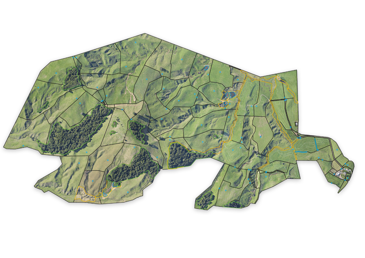
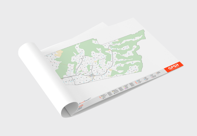
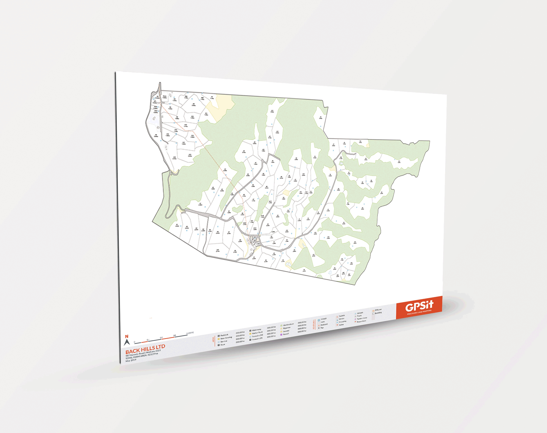
OUR SERVICES
FARM MAPPING
Our team of GIS technicians produce accurate farm maps tailored to your unique farm features.
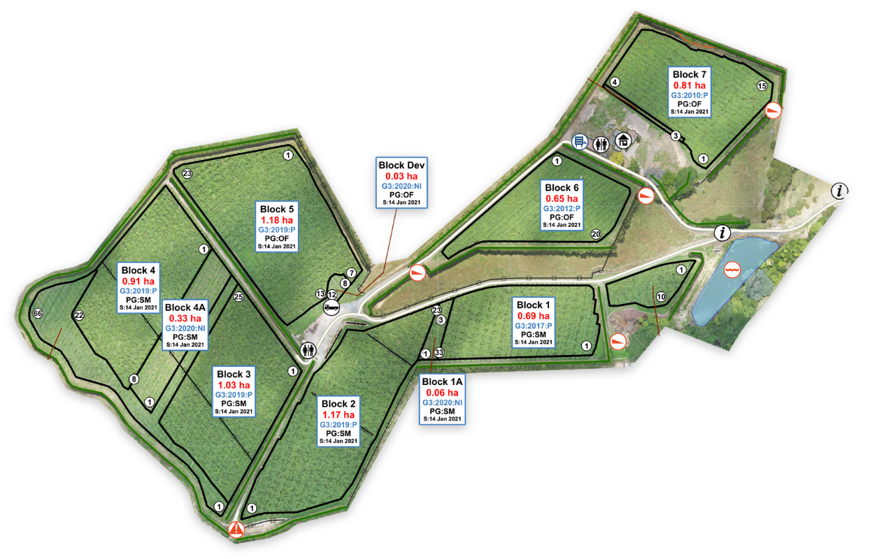
OUR SERVICES
ORCHARD MAPPING
We map all types of horticulture properties using the latest drone (UAV) technology, including avocados, apples, citrus and berry orchards.
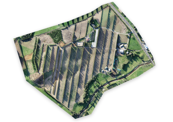
OUR SERVICES
ORCHARD DESIGN
We specialise in the design and set-out for new kiwifruit orchard development.
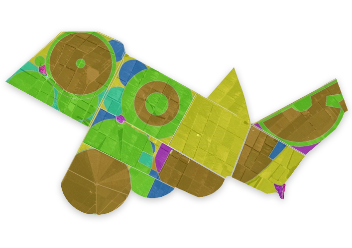
OUR SERVICES
GIS SOLUTIONS
We have extensive experience in developing GIS solutions across a variety of industry sectors, including agriculture and horticulture, local and central government.
.png)
.png)


"The team at GPSit have mapped many of our managed orchards. They always try to accommodate us to our everchanging needs and always ensure that they deliver a final product that we are satisfied with."
LILOU TABOURIN
AVOWORKS

“We outsourced our orchard design to our trusted partners at GPSit who maximised productive space and ensured layout was designed to suit our growing conditions. The whole process was facilitated by skilled field technicians that offered expertise right through; from block and plant layout to precision marking out onsite. We couldn't have been happier with the outcome, saving us time and energy allowing us to focus on installation."