Experience
At GPSit we know farms. Many of our team come from farming backgrounds so we understand a farm map is the foundation of your entire operation.

At GPSit we know farms. Many of our team come from farming backgrounds so we understand a farm map is the foundation of your entire operation.
A GPSit farm map is an investment that provides immediate and long-lasting returns. It will improve your farm’s productivity and support the decisions you make.

Your whole business will benefit from the latest technology that produces highly accurate maps. You can plan, record details, meet compliance requirements, provide bench-marking and simply do more with a GPSit farm map.
.png)
Our maps are an effective and easy way to communicate farm layout and hazards to staff and visitors to ensure you comply with all health and safety regulations.
.png)
An accurate map is critical for any Farm Environment Plan (FEP) to identify waterways, fencing, riparian planting, and slopes.
.png)
Maps are a powerful tool to assist with day-to-day farm management. This includes planning, budgeting, tracking fertiliser applications, and allocating stock rates/movement.
.jpg)
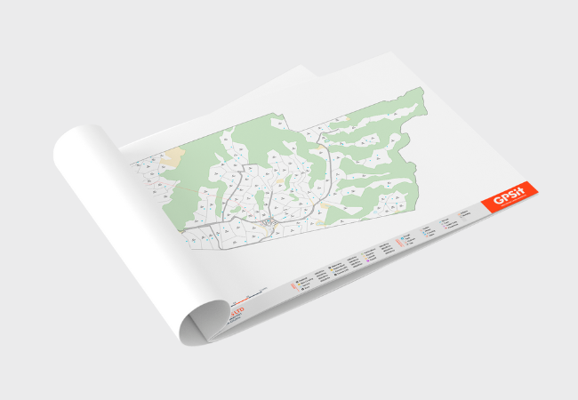
This service includes our team of GIS technicians using the latest publically available satellite imagery to draft your farm map. It does not involve a site visit.
See Draft Only Service for further detail.
.jpg)
This service includes a site visit from one of our field technicians to capture aerial imagery of your farm using the latest drone technology and drafting by our team of GIS technicians to produce your farm map.
See Drone & Draft Service for further detail.
Note: This service is unavailable in some regions and for some large farms. We will notify you if this is the case.
![]() Paddock sizes and names
Paddock sizes and names
![]() Fencing
Fencing
![]() Buildings
Buildings
![]() Vehicle and animal tracks
Vehicle and animal tracks
![]() Bush blocks
Bush blocks
![]() Troughs
Troughs
![]() Wells and bores
Wells and bores
![]() Effective and non-effective Areas
Effective and non-effective Areas
![]() Waterways and drains
Waterways and drains
![]() Electric fence switches
Electric fence switches
![]() Entries and exits
Entries and exits
![]() Overhead powerlines
Overhead powerlines
![]() Hazards
Hazards
![]() Underground pipes
Underground pipes
.png)
Shapefiles are used by software companies as a means of storing geospatial data.

Shapefiles are used for multiple purposes including Tabula/TracMap, My Balance, Ravensdown, Platemeters, Hawkeye, N-Cap reporting, and FWFP.
.png)
Shapefiles are FREE with your farm map.
.png)
.png)